
30 Maps That Will Leave You In Stitches With Their Utter Uselessness
Alright, everyone, it's a good idea to leave your GPS activated as we explore what I like to call the realm of 'Awful Maps.'
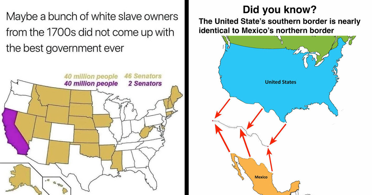
Navigating the world of maps can sometimes feel like a daunting task, with intricate details and a complex network of lines and symbols. But fear not, for there's a delightful corner of the internet that embraces the quirkier side of cartography.
Welcome to the realm of 'Terrible Maps,' where GPS navigation might not be your best friend, but laughter and a newfound appreciation for the world's diversity await. As we embark on this journey through 'Terrible Maps,' it's advisable to keep your GPS on standby, as you never know where these maps might lead you.
The land of 'Terrible Maps' is a whimsical place filled with wrong coordinates and legends that are more perplexing than helpful. But it's precisely these unexpected twists and turns that make the experience so unforgettable.
This online project is a tribute to geographically incorrect entertainment, and it's a treasure trove of offbeat cartographic creations. One might stumble upon maps like 'The World According To Fish,' which offers a fish-eye view of our planet, or 'What Pedestrian [Signs] Look Like Across Europe,' a humorous take on pedestrian signage diversity.
While 'Terrible Maps' may not serve as a reliable tool for navigating from point A to point B, it excels in its ability to teach you something new and bring a smile to your face. Sometimes, the joy lies in the quirks and imperfections, and 'Terrible Maps' is the perfect embodiment of this sentiment.
So, if you're looking for a break from daily life and want to explore a world where laughter and curiosity reign supreme, venture into the realm of 'Terrible Maps.' Just remember to keep your GPS handy; you never know when you might need it, even in a land where navigation is as whimsical as the content it presents.
Not all maps are useful
 Pexels
1. Planet Earth
 terriblemap
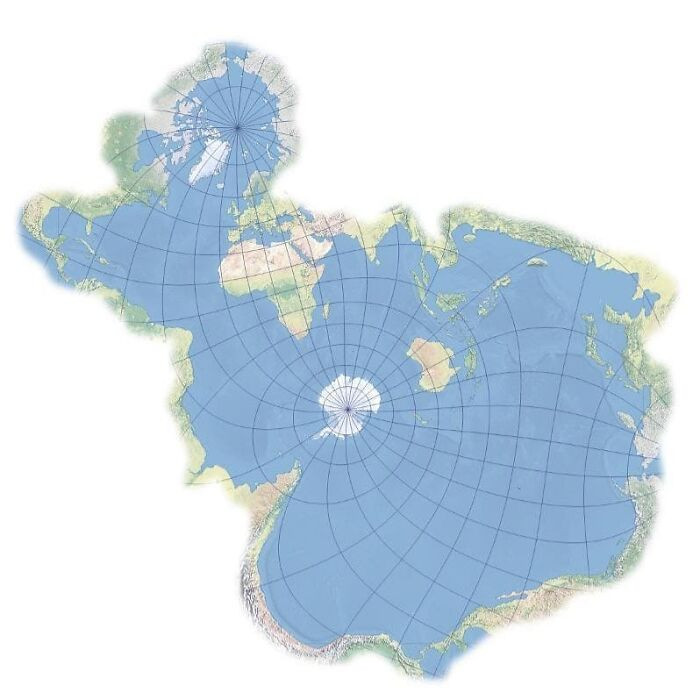
2. A global map from the perspective of fish.
 terriblemap
3. Cat-centric Earth Concept.
 terriblemap
4. How other countries perceive the United States
 terriblemap
5. Map depicting Earth without any landmasses.
 terriblemap
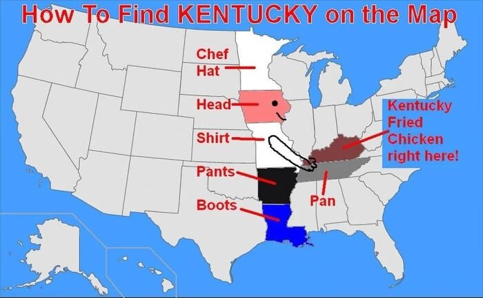
6. How to locate Kentucky on a map
 terriblemap
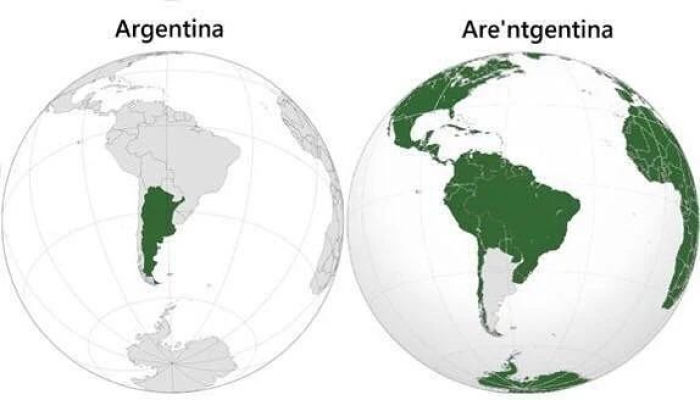
7. Argentina
 terriblemap
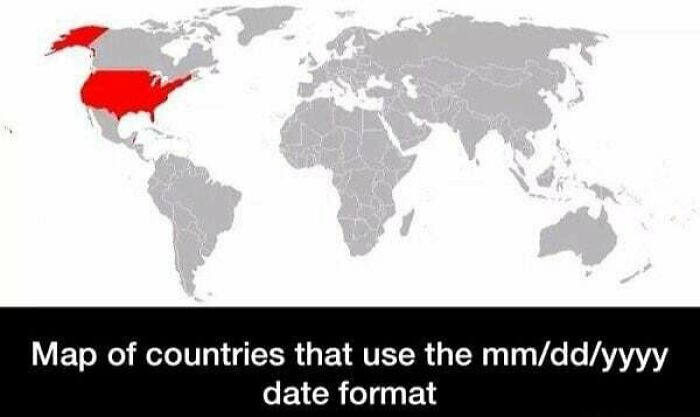
8. Cartographic representation
 terriblemap
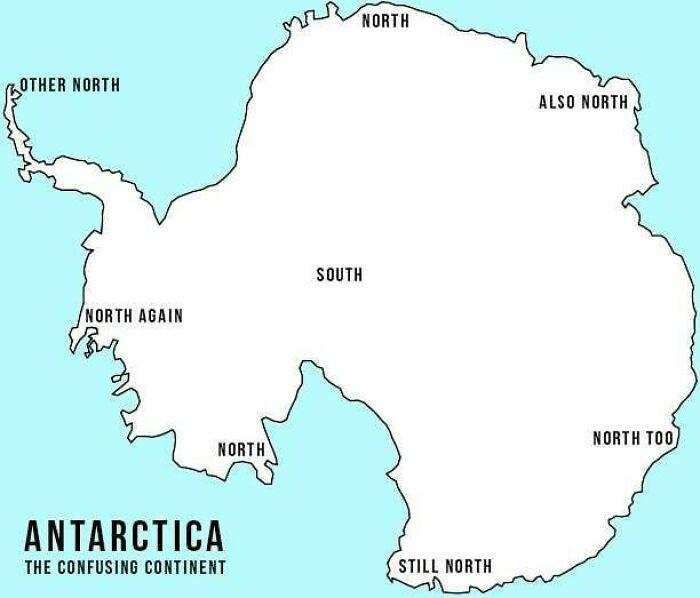
9. Antarctica, The Enigmatic Landmass
 terriblemap
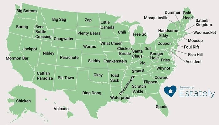
10. The strangest town names in every U.S. State
 terriblemap
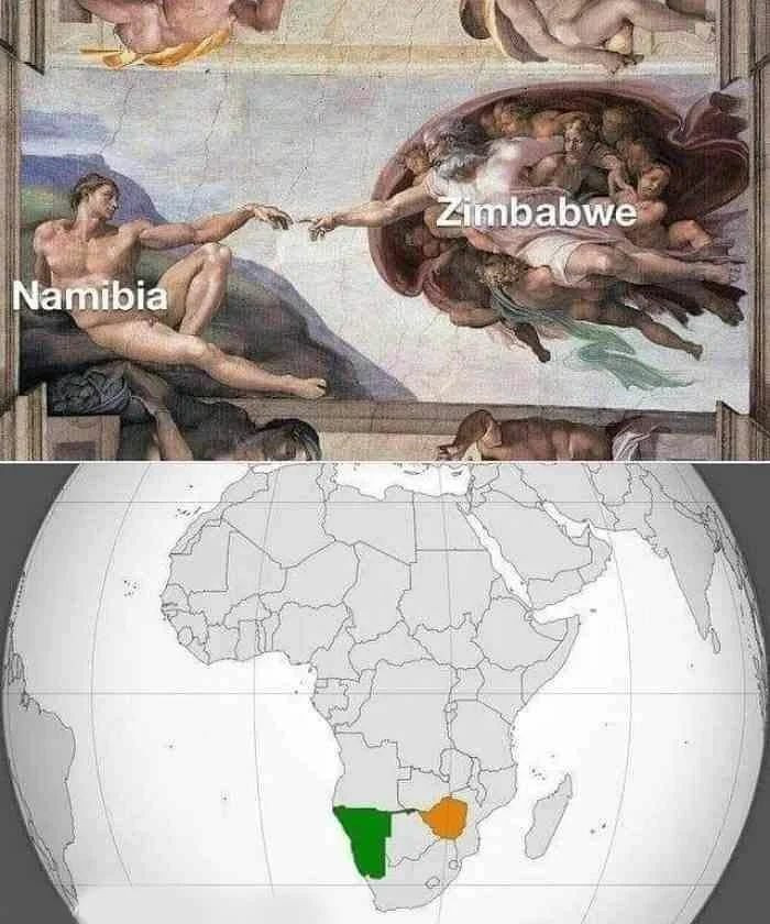
11. Zimbabwe And Namibia
 terriblemap
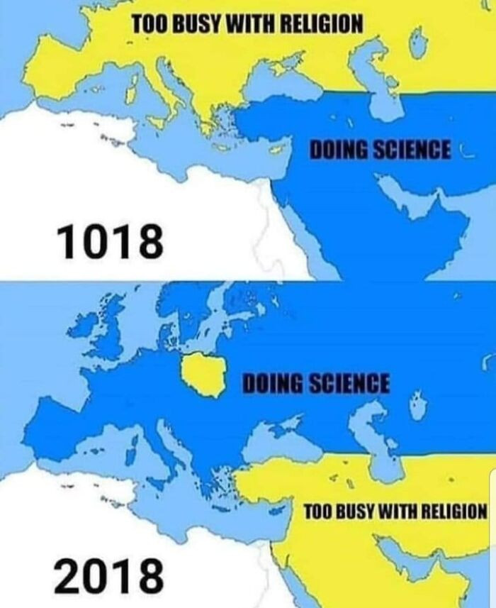
12. Dreadful cartography.
 TerribleMaps
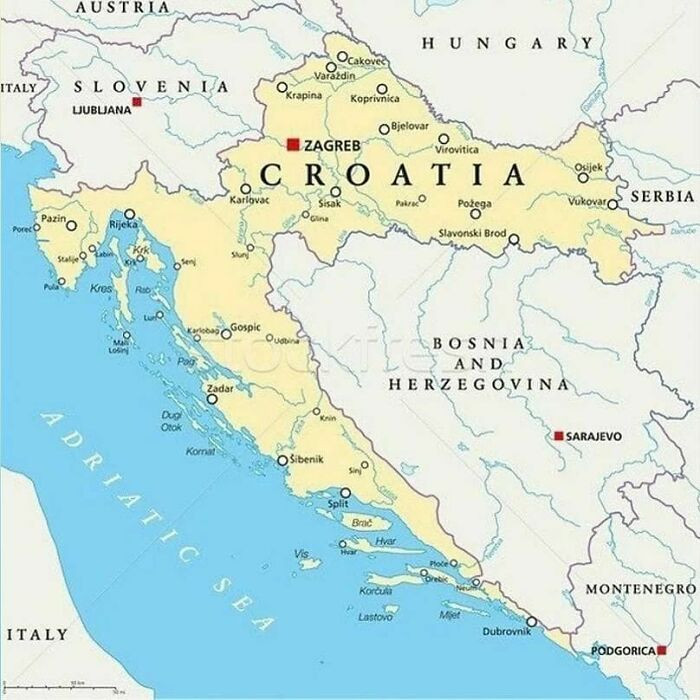
13. Bosnians: We'd like to go swimming. Croatia: That's not allowed.
 terriblemap
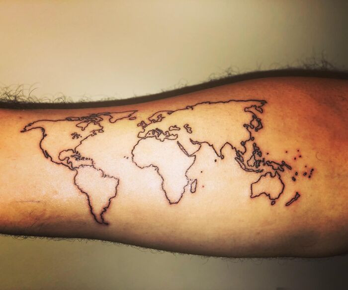
14. In 60 million years, that will appear quite absurd.
 TerribleMaps
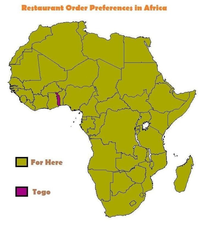
15. African dining preferences
 terriblemap
16. When the political science class meets math homework, they both need a little extra tutoring.
 terriblemap
17. Essentially, a comprehensive geographical representation of Europe's data.
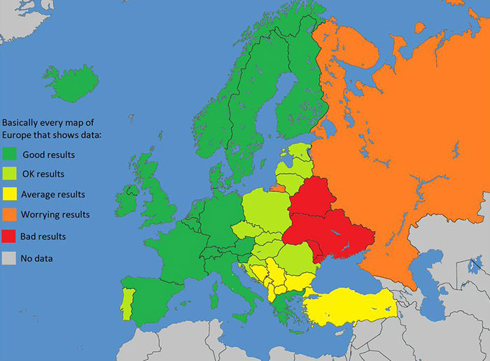 terriblemap
18. Cartographic representation of Roman Airports during the 2nd Century AD.
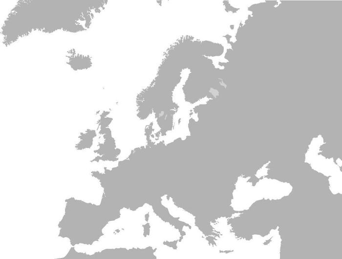 terriblemap
19. Tightly coiled
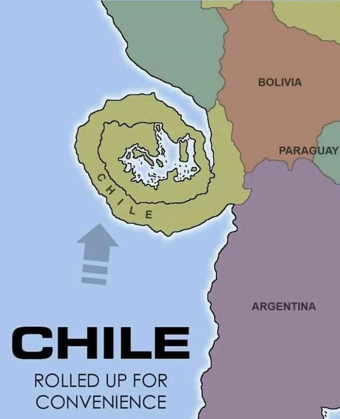 terriblemap
20. Europe, but with European colonization.
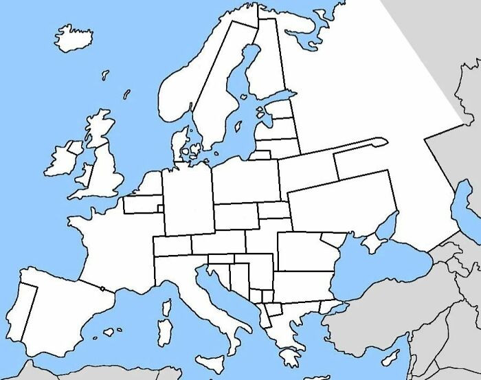 TerribleMaps
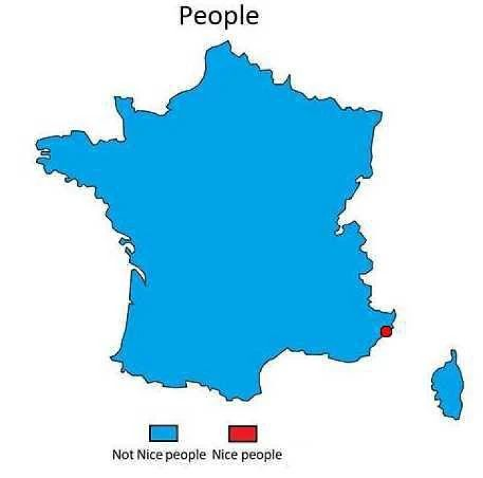
21. Kind and not so kind
 terriblemap
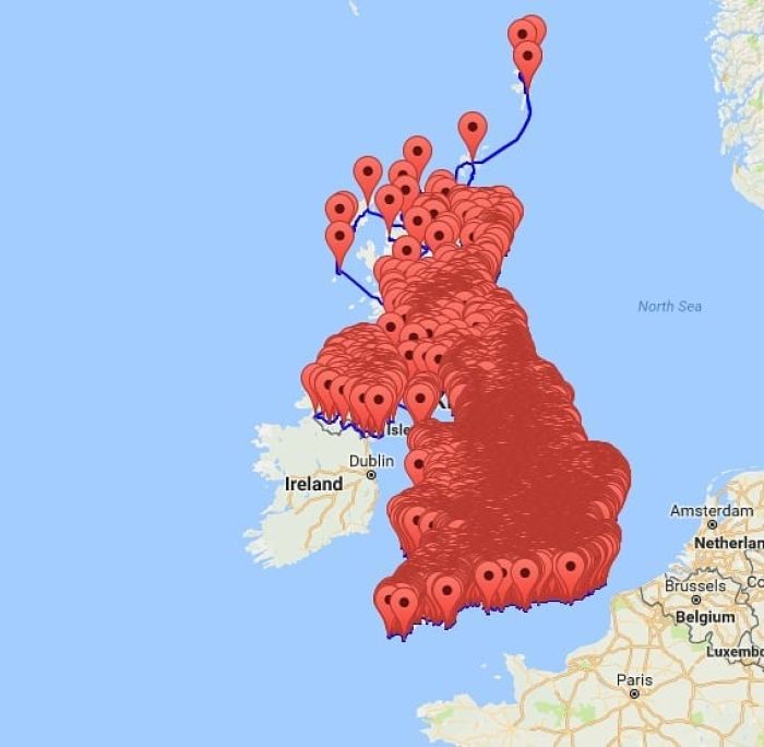
22. For all those in the United Kingdom eagerly anticipating April 12th, here's a comprehensive map showcasing the locations of every pub across the UK.
 terriblemap
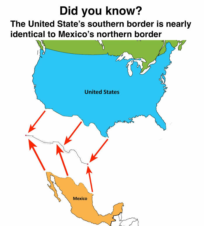
23. Inadequate Cartographic Representation
 TerribleMaps
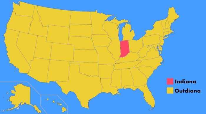
24. Outdiana
 TerribleMaps
25. Describing the appearance of pedestrians throughout Europe
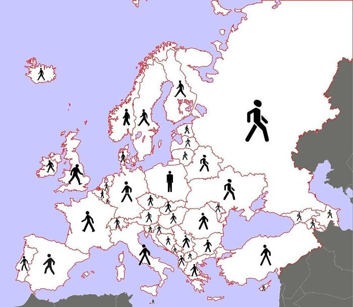 terriblemap
26. The Risk Posed by Indiana
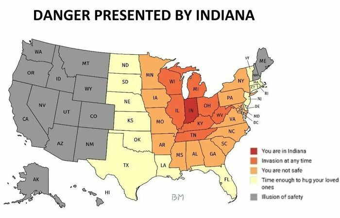 terriblemap
27. Egypt's land area is less than the combined land areas of the United States, Russia, and China.
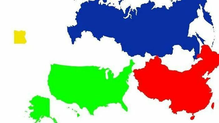 terriblemap
28. 2,066 individuals from the United States were surveyed to identify the location of Ukraine on a map.
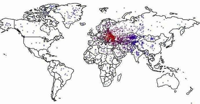 terriblemap
29. Per person population
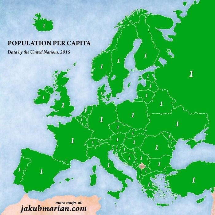 terriblemap
30. Statistic
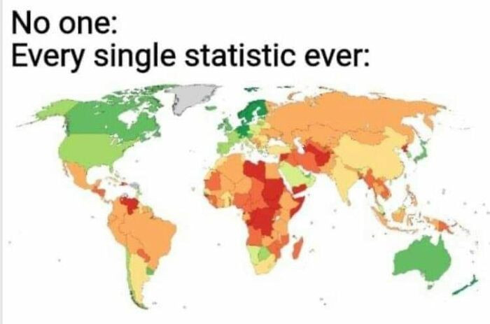 TerribleMaps
'Terrible Maps' may not be the go-to choice for planning your next cross-country road trip, but it's the go-to choice for a good chuckle. So, keep your GPS on standby, and dive into the world of 'Terrible Maps' for a dose of geographical humor that will have you laughing your way to new horizons.
Who needs intricate navigation when you can have a laughably wrong turn and a hilarious legend to accompany it? Remember, life's journey is much more enjoyable when you take a detour through the world of 'Terrible Maps.' Happy mapping, fellow adventurers!
Damjan


